Select Cadastral Correction: When and How It Is Done
-
admin
-
February 18, 2026
-
Blog
-
0 Comments
Useful Information Correcting records in the Cadastre is necessary when there are errors in the registration of a property, either in its geometric data or descriptive details. These errors may relate to property boundaries, area size, or the exact location of the land parcel. The correction process can be carried out either out of court or through legal procedures, depending …
Continue Reading
What is EGSA ’87 and Why It Is Important
-
admin
-
February 18, 2026
-
Blog
-
0 Comments
Useful Information EGSA ’87 is the official national coordinate system used in Greece for the preparation of topographic diagrams. All modern topographic diagrams must be referenced to this system in order to ensure a consistent and accurate spatial reference. Using EGSA ’87 ensures that the exact location of a property is accurately defined and can be properly linked with the …
Continue Reading
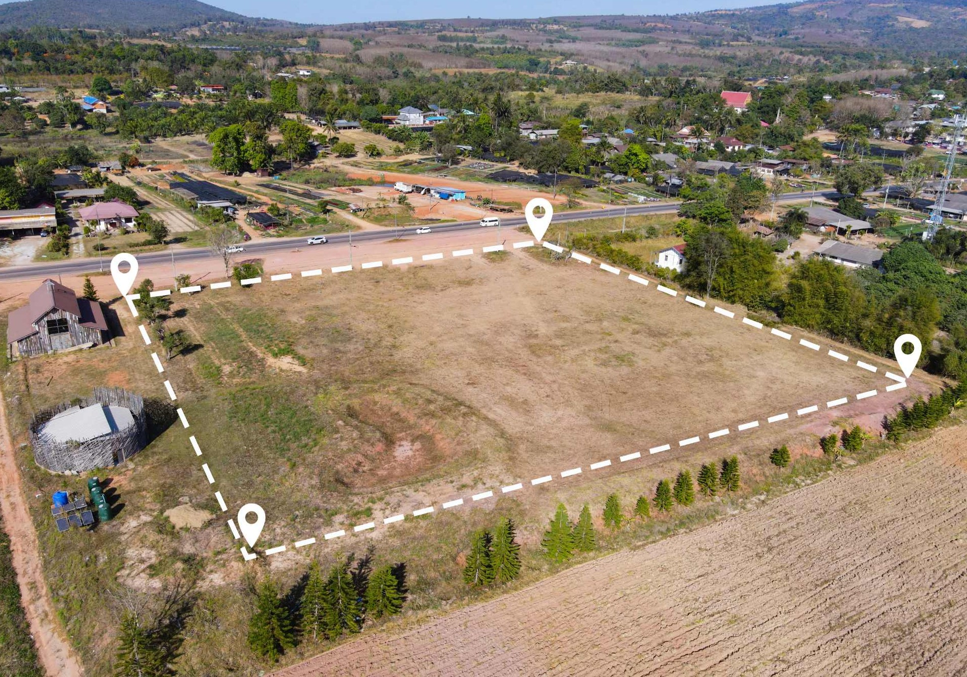
When is a Topographic Diagram Required
-
admin
-
February 16, 2026
-
Blog
-
0 Comments
Useful Information A topographic diagram is required in many cases related to properties and real estate. It is used in notarial deeds, building permits, legalization of existing structures and procedures related to the Cadastre. It is usually required when preparing sale or transfer contracts, issuing or revising building permits, as well as in cases of land subdivision or distribution. It …
Continue Reading