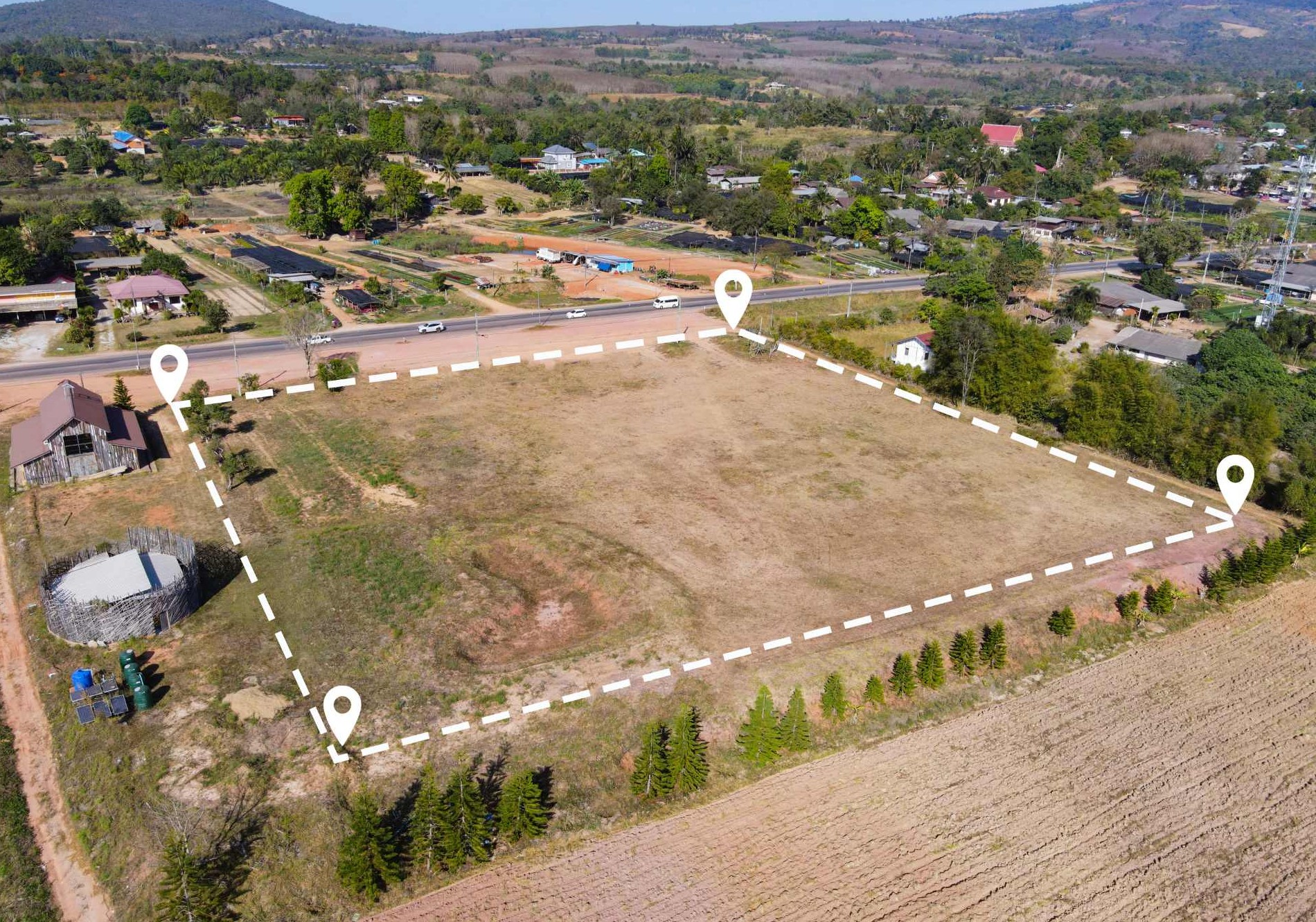
Topographic Diagrams for Contracts and Permits
Topographic surveys form the basis for the preparation of topographic diagrams, referenced to the national coordinate system EGSA ’87, depending on their intended use.
These diagrams are required for all types of notarial deeds, as well as for building permits, demolition permits or revisions, ensuring a clear and technically accurate representation of the property.
Topographic Diagrams for Every Use
Surveys for Planning and Administrative Purposes
Topographic surveys are also used in land subdivision and distribution processes, legalization of existing structures, and the representation of forest-related data and land classification.
The office also undertakes topographic studies for coastline and beach delimitation, urban planning applications and modifications of approved plans, always focusing on measurement accuracy and high-quality technical results.