About us

Nikoletta Plessa

12

Years of Experience

Licensed Surveying Engineer

Nikoletta Plessa is a licensed Surveying Engineer and has been operating a land surveying office in Zakynthos since 2015. The office focuses exclusively on land surveying services for both private and public projects, with emphasis on measurement accuracy, proper technical documentation and reliable results.
Τοπογραφική αποτύπωση για διαχείριση ακινήτων

Academic Background

  • Diploma in Surveying Engineering, National Technical University of Athens
  • Graduate of Surveying and Geoinformatics Engineering, University of West Attica (former TEI of Athens)
  • Licensed for Public and Private Engineering Studies, Ministry of Infrastructure and Transport
    (Categories 2 & 16 – Urban Planning, Land Planning and Topographic Studies, Reg. No. 27775)
  • Certified Energy Inspector, Ministry Registry (Reg. No. 16949)
  • Court-Appointed Expert Witness, registered with the Courts of Zakynthos and Patras 

Professional Memberships

  • Member of the Technical Chamber of Greece (TEE) – Reg. No. 137336
  • Member of the Panhellenic Association of Surveying Engineers (PSDATM)
  • Treasurer of the Board, PSDATM Western Greece
  • Member of the Hellenic Institute of Valuation (ELIE)
  • Former Vice President, Treasurer and current Board Member
    of the Association of Engineers of Zakynthos (SMDASZ)

Scope & Philosophy of the Office

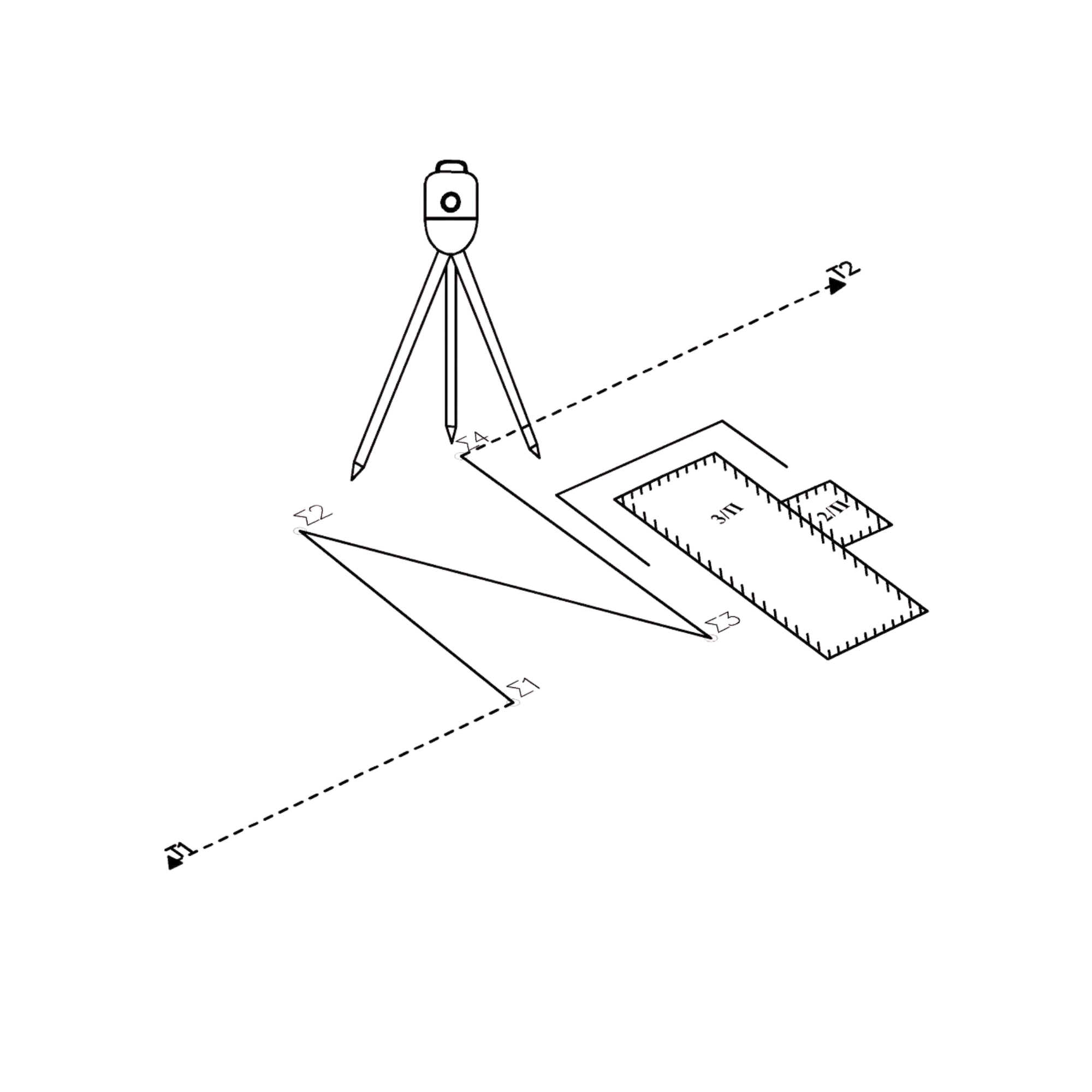
The office specializes in land surveying and the accurate recording of both private and public properties, with a strong focus on measurement accuracy and the correct technical representation of real conditions.
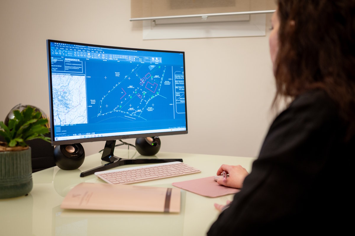
Since topographic surveys and studies form the basis of every construction project and technical development, the office invests in modern high-precision equipment, combined with continuous professional training.

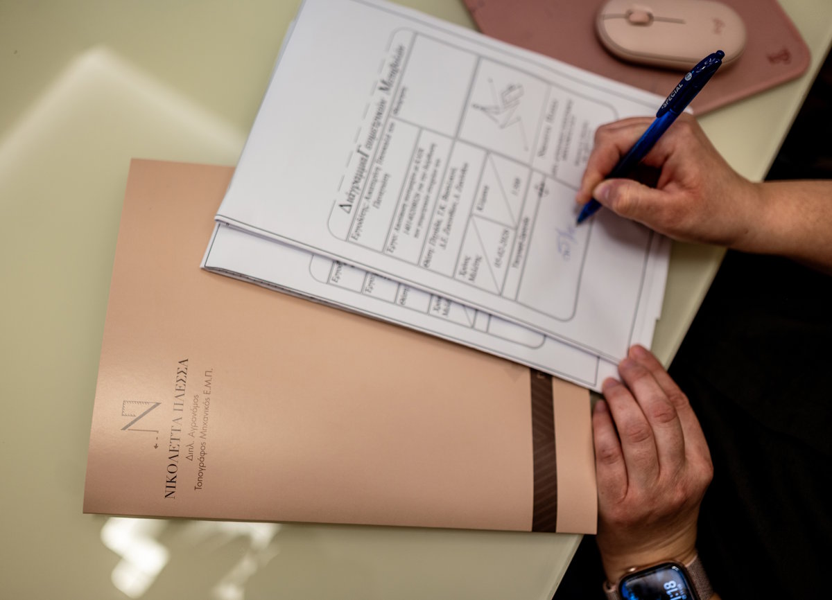
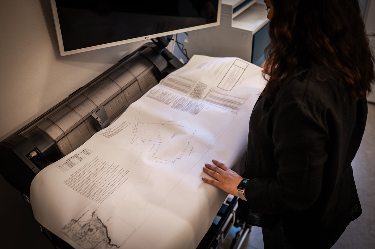
A topographic diagram represents the actual condition of a property and serves as its technical identity. It reflects the knowledge, research and responsibility of the surveyor and plays a key role in protecting property rights.
Inaccurate or incomplete surveys can lead to errors in contracts, cadastral records, building permits or legalization processes, often resulting in time-consuming and costly corrections. For this reason, the office places strong emphasis on accuracy and the quality of every deliverable.

Contact us