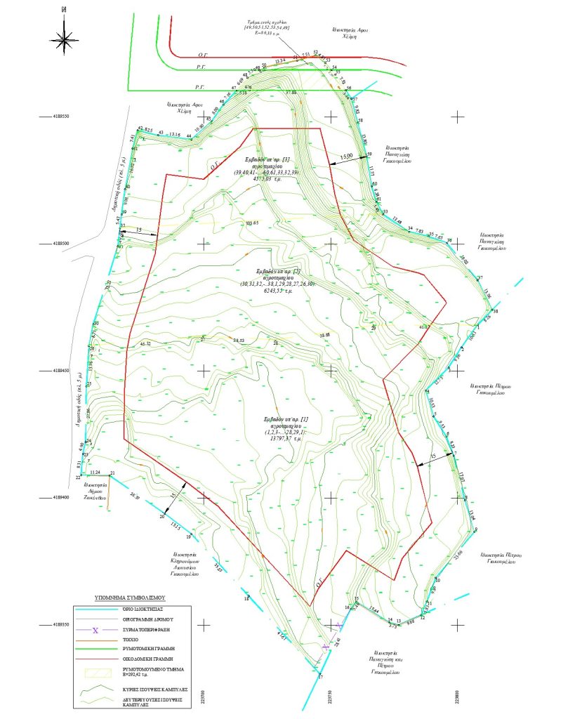
Elevation Studies and Terrain Analysis
Elevation studies are an essential tool for understanding the terrain of a property and accurately representing its surface.
Through specialized measurements and data processing, precise elevation data is produced for use in technical studies and projects.
Terrain Analysis and Digital Terrain Model
As part of the process, field measurements are carried out and data is collected to create a digital terrain or surface model.
This model accurately represents elevation differences and the overall shape of the land, providing valuable information for project planning.
Contour and Bathymetric Representation
The results are presented in topographic diagrams using contour lines for land areas, while bathymetric lines are used in cases involving coastal or marine studies.
This ensures an accurate representation of the actual terrain.